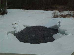
 Spring thaw
of the road. But other than a rabbit scampering across the road, that was all the wildlife we saw today.
Up and out early, we headed north through gold country, past and present. In the hills close to town a moose was feeding on the tender new leaves by the side  Spring thaw
of the road. But other than a rabbit scampering across the road, that was all the wildlife we saw today.
The Steese Highway parallels rivers and creeks flanked here and there with enormous piles of tailings from gold dredging which began in the 1900s. Next to the road is the Davidson Ditch, an 83-mile long pipe constructed in the early gold-mining years to provide water for gold dredges.
We passed a couple of arctic research sites developed by University of Alaska scientists, a grocery and liquor store with hunting and fishing licenses, and road workers taking advantage of the thawed-out season. The surrounding hills are all glacially scoured, with rounded tops separated by rounded valleys; the spring melt was on, and the rivers swollen.
But the further we got from Fairbanks, the more deserted the country. Circle and Central, the towns at the end of the road, 160 miles northeast, had  Unknown First Family
populations of 80 and 40 and no services. Our guide books promised no breathtaking scenery, just more of the same, so about 75 miles out we turned around and headed back. (It's a truism about Alaska that one travels most roads twice -- coming and going.)
We got one or two nice photos of the country, and can report about one optimistic gold mine road: the sign reads True North in one direction and Fort Knox in the other. Clearly nothing else matters!
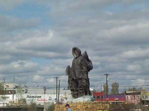
Returning to downtown Fairbanks, we stopped at the visitor center and the Public Lands Office, where a school group was learning Alaska geography (heck of a lot to learn), and took a picture of the large bronze sculpture entitled "Unknown First Family."