 Bisbee's used up copper pit
Leaving Carlsbad, New Mexico, we ran right into snow as we headed west. The pass at Cloudcroft is over 8000 feet, and there was more and more snow on the road as we got higher. The skiers were jubilant. We were early enough so that if necessary we could follow the plow. But, as it turned out, the road was passable over the mountain and down the other side into Alamogordo, where we spent the night.
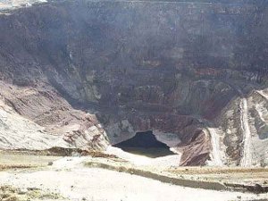
 Bisbee's used up copper pit
Alamogordo is another southwestern military town, with Holloman Air Force Base and White Sands Missile Range. Everything was buttoned up for the holidays, and we worked quietly on our backlog of genealogy typing.
The next day we drove to Las Cruces, which is the largest town in southern New Mexico, but still not what we would call a city. On the way we saw the beautiful White Sand dunes, and drove to a mountain campsite to look around. The views were lovely.
From Las Cruces we headed west through the towns of Deming and Lordsburg, which seemed to be slowly dying, with lots of boarded up stores and gas stations, tiny old motels and restaurants without many customers. Too bad.
We headed south on Highway 80 to Douglas, which is another border town jumping with international truck traffic (due to NAFTA), but otherwise pretty sleepy.
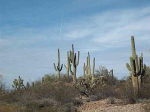
 Arizona's trademark saguaros
Bisbee is the county seat of Cochise County, and there we looked for old records of Elsa's great-great aunt Ellen, who was born in Cornwall in 1850, immigrated with her family to Wilkes-Barre in 1866, moved to Lafayette County, Wisconsin in 1870, and then turned up in Bisbee in 1887, with her second husband. Quite a lot of culture shock! Bisbee, of course, was then a good-sized city, the site of a huge Phelps Dodge copper mine in the Arizona Territory. The houses were stuck to the walls of Tombstone Canyon. In 1900 Aunt Ellen was again a widow, living with four children by her two marriages and four Cornish boarders! We think we're going to have to go somewhere in Colorado to turn up records of her first husband.
We did our research in the historical museum and the county courthouse, where we drove up a steep hill to find a parking place. It reminded us a bit of Galena, Illinois. Bisbee is now mostly a tourist venue, which has managed to attract lots of characters and odd shops, such as the Grateful Bread Bakery. It's a hundred-year-old mining town with rickety hotels and wooden houses still lining the canyon. Quite a contrast with Sierra Vista, which is the largest city in Cochise County, where we spent a couple of nights.
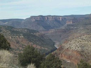
Whatever the folks in Sierra Vista are doing, they're doing well. New housing developments and malls are springing up, and the city is prospering with  Salt River Canyon
the money coming to Fort Huachuca, where the Army does intelligence and electronics.
We couldn't help but make the contrast between Sierra Vista and Ridgecrest; both are medium-sized desert towns dependent on a military base, with a little bit of retirement and tourism. But it would appear that the folks in Sierra Vista have done a better job of ingratiating themselves to the Army, and the money keeps coming in.
Leaving Sierra Vista and heading north, it seemed as if we went through one different ecological community after another, including prickly pear and cholla, cattle ranches, saguaro forests, a big city (Tucson), juniper highlands, a mountain winter resort (Show Low), and an Apache Indian reservation. But the biggest spectacle was the Salt River Canyon, where the magnificently engineered highway wound thousands of feet down one wall and then back up the other side. We recommend the drive from Show Low to Globe on U.S. 60 just to enjoy the canyon.